The Challenge
What Mabat3D Was Facing
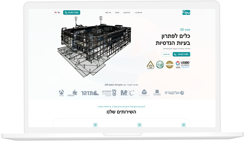
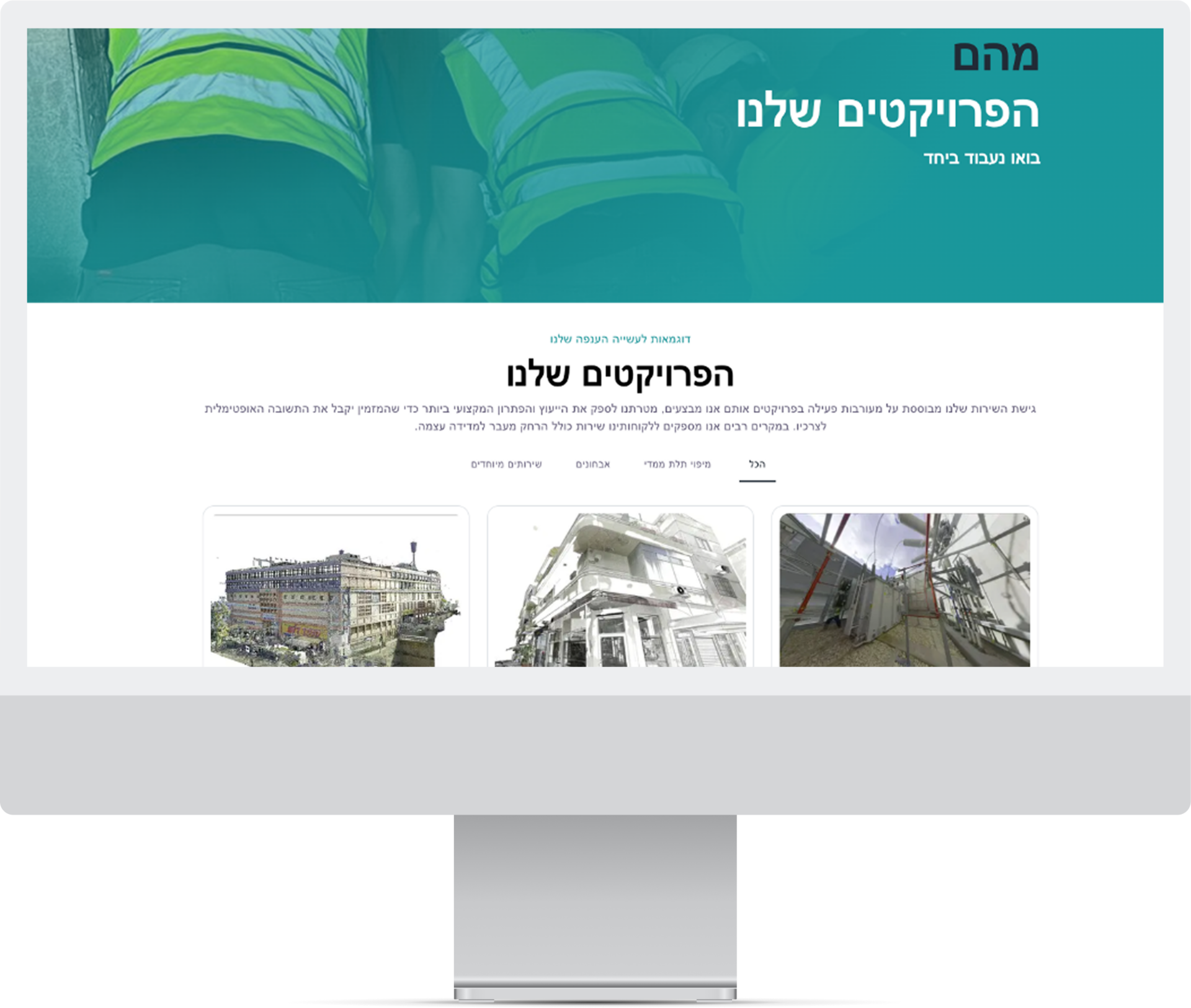
Mabat3D was serving London AEC clients who needed to visualise complex spatial data — building information models, utility infrastructure, and planning constraint layers — overlaid in real time on a 3D representation of the site. Generic CAD viewers and off-the-shelf 3D visualisation tools could render static models but could not ingest live data feeds, could not layer multiple data types from different source systems, and could not run on mobile devices for on-site use. Each client's data came in a different format, requiring bespoke transformation before any generic tool could display it.
The Solution
What We Built
We built a bespoke 3D and AR spatial visualisation platform with a data ingestion layer that normalised BIM, GIS, and utility data formats into a unified spatial model. The rendering engine was optimised for mobile devices so that site engineers could use the platform on site without carrying dedicated hardware. Live data feeds — occupancy sensors, environmental monitors, structural telemetry — were overlaid on the 3D model in real time. A configurable layer system allowed each client to define which data types were visible to which user roles.
Results